Forest
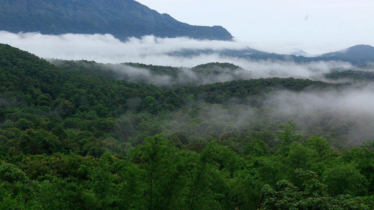
A world of evergreen canopy, bird calls and quiet wonder. Explore this protected rainforest through the park’s authorised visitor programmes.
OFF THE USUAL PATH. INTO ATTAPPADI.
Mist on the hills. Stories in the soil.
Discover a quieter side of Kerala.
A PLACE TO FEEL, NOT JUST SEE
FIND YOUR KIND OF WILD
Follow the forest. Find a river.
Let the valley set the pace.
A world of evergreen canopy, bird calls and quiet wonder. Explore this protected rainforest through the park’s authorised visitor programmes.
The defining silhouette of Attappadi, and a deeply significant sacred landscape for the valley’s indigenous communities.
Follow the rhythm of the valley along the Bhavani. A landscape of river bends, bamboo and hills best enjoyed slowly.
A forest-fringed reservoir in the wider hill region. A possible addition to a longer visit when forest access is available.
GET A LITTLE LOST. FIND A LITTLE MORE.
MAKE IT YOUR OWN
Save the places that speak to you.
Your shortlist stays in this browser.
A good trip starts with a little curiosity.
Find your first place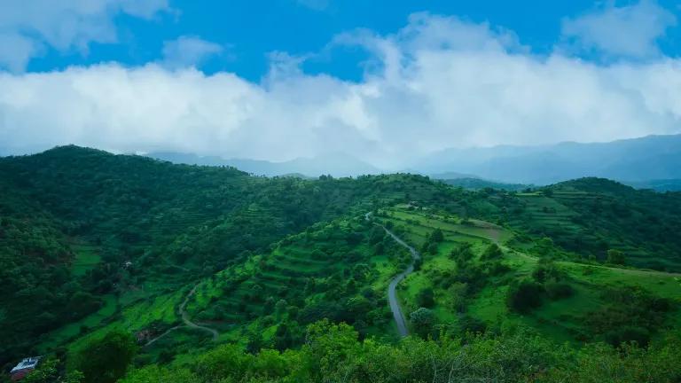 AN EXTRAORDINARY PLACE. SOMEONE’S EVERYDAY HOME.
TRAVEL SLOWLY. TREAD LIGHTLY.
Attappadi is a living landscape, home to the Irula, Muduga and Kurumba communities. Its stories belong first to the people who live here.
Ask before photographing people, homes or ceremonies.
Choose local guides and businesses. Let communities lead cultural experiences.
Keep to permitted areas. Carry back everything you bring.
A LITTLE PLANNING GOES A LONG WAY
Plan your approach around Mannarkkad and Mukkali, or Agali. Save your maps before leaving and allow extra time for hill roads.
Find Agali on Google MapsForest programmes need planning. Confirm entry, availability and current conditions directly with the park or forest office.
Silent Valley visitor informationBring water, sturdy footwear, rain protection and an offline map. Check the local forecast and road conditions close to departure.
Kerala weather informationAn independent discovery guide, not a booking service. Destination descriptions are informed by official tourism and park resources, reviewed in October 2026. Access, programmes and road conditions can change.
The boundary is the supplied Attappadi taluk GeoJSON, not a forest-access or permit boundary. The 745 km² figure is rounded from its Shape_Area property. Destination pins are separately curated, approximate references. Silent Valley’s marker identifies its Mukkali gateway.
Resort photography: Treetop Resort and Whispering Hills, from their own websites; resized and cropped for this independent guide. Produce artwork is illustrative. Landscape photography: Silent Valley landscape — Incredible India; Attappadi terraces — Kerala Tourism; Bhavani River — Thankachan Nellikkunnel / Wikimedia Commons. Malleswaran image: All About Mannarkkad. Images are cropped for layout. The Bhavani photograph and its crop are provided under CC BY-SA 4.0.
Less rush. More wonder.
See where the valley takes you